Project Challenge:
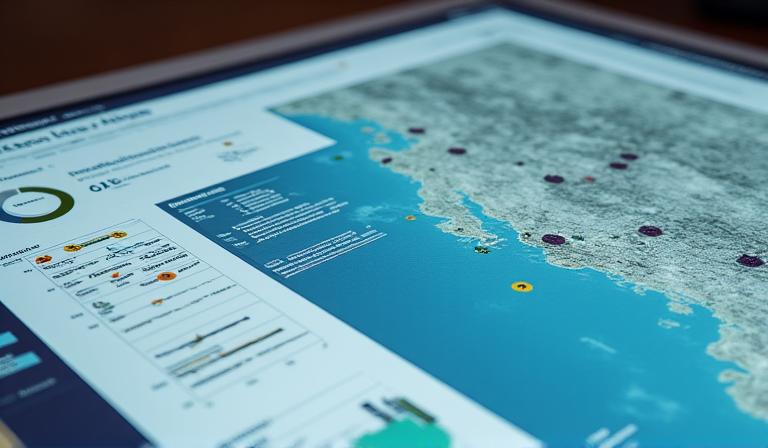
Our client, a municipal planning department, needed a dynamic, user-friendly platform to present complex urban data to both city officials and the public. Existing static maps were cumbersome and failed to convey the interconnectedness of various urban elements.
Our Solution:
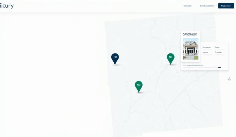
We developed a custom interactive city atlas, integrating multiple layers of geospatial data including demographics, infrastructure, public transport, and green spaces. The platform features intuitive filtering, search capabilities, and a clean, responsive UI accessible on all devices.
Key Technologies Used:
- React.js for the dynamic front-end
- PostGIS for spatial database management
- Mapbox GL JS for rich interactive mapping
- Node.js backend for API services
View Live Project (Demo)